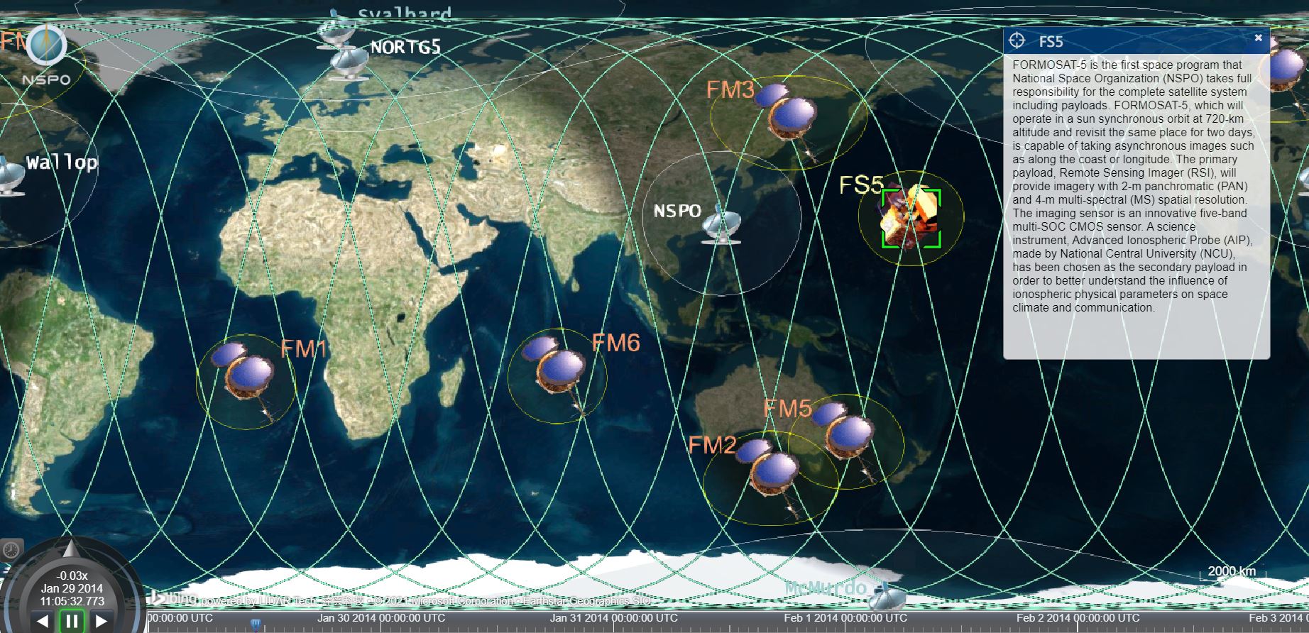
Subordinate system of FORMOSAT-5


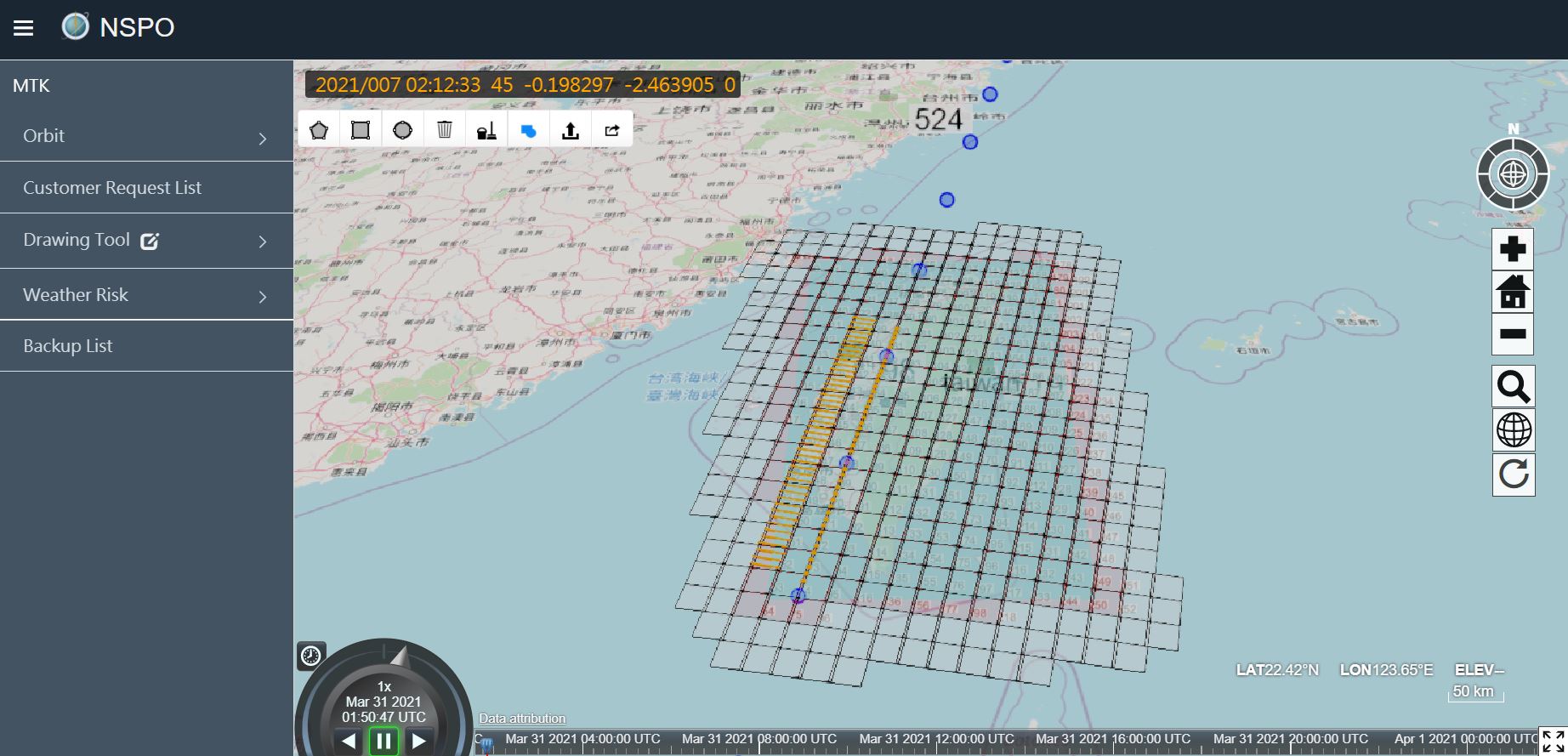
- Image shooting scheduling system
- 4D platform
NSPO-2018
earthbook enterprise version for NSPO, providing various modules including shooting arranging, scheduling, measurement tools and weather data, improves shooting efficiency and results in collecting no-cloud images of the whole Taiwan in three months.
UAV assisting firefight and patrol
(Up) View of the commander; (Down) View of the operator; (Right down) Positions of ground staffs
- Grasping instant fire situation
- Living stream from UAV for the commander
Smart Rescue
earthbook 4D cloud platform can integrate information, including live-streaming from UAVs, positions of firemen through the app, for fire situation. Therefore, the commander can grasp arrangement of firemen through this integrated platform. This integrated information, not only for the commander but also for firemen, can help make strategy quickly.